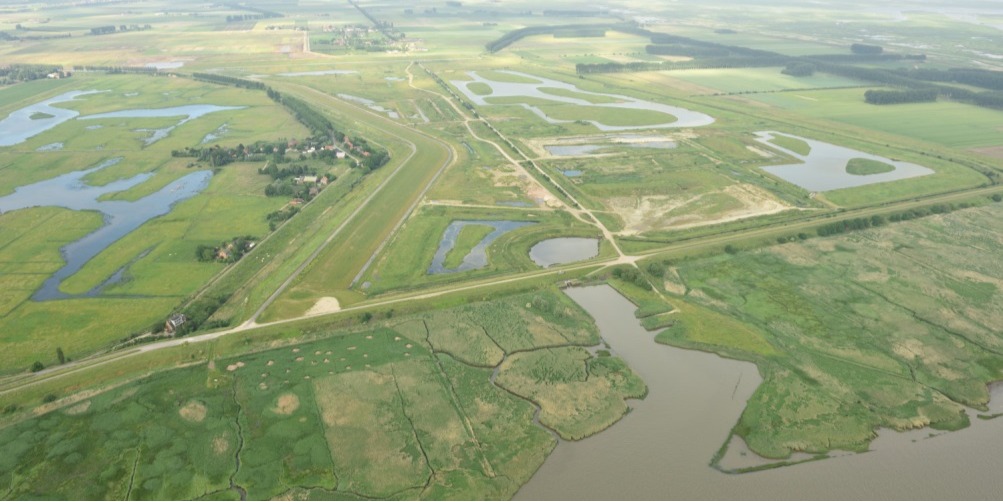
The Sigma Plan is an integrated flood protection plan for Flanders, Belgium. It was first established in 1977 in response to a major storm surge flood in 1976. The plan protects approximately 20,000 hectares of land bordering the Scheldt River and its tributaries. In order to achieve adequate protection, the plan combines traditional infrastructure measures like dike reinforcement with innovative solutions like river widening through implementation of controlled flood areas. At the end of 2015, 1,200 hectares of controlled flood areas were realised. While the Sigma Plan’s main purpose is flood control, it is based on an integrative perspective on river management. This perspective acknowledges a variety of river functions including flood protection, nature development, shipping and recreation.
This integral development of functions and values has been the leading principle throughout the entire project devel- opment. The concept of ecosystem services was used to enable integral evaluation of project benefits and impacts. An open communication strategy was adopted to maximise public acceptance and support. The latter involved intensive stakeholder engagement. Besides safety against flooding and improved navigability, the project has resulted in import- ant, non-hydraulic outcomes such as nature areas, cultural values (sports, concerts) and economic activities (e.g. bike rental, local restaurants). Owing to its broad impact and success, the Sigma Plan is generally considered a success in Belgium and beyond.